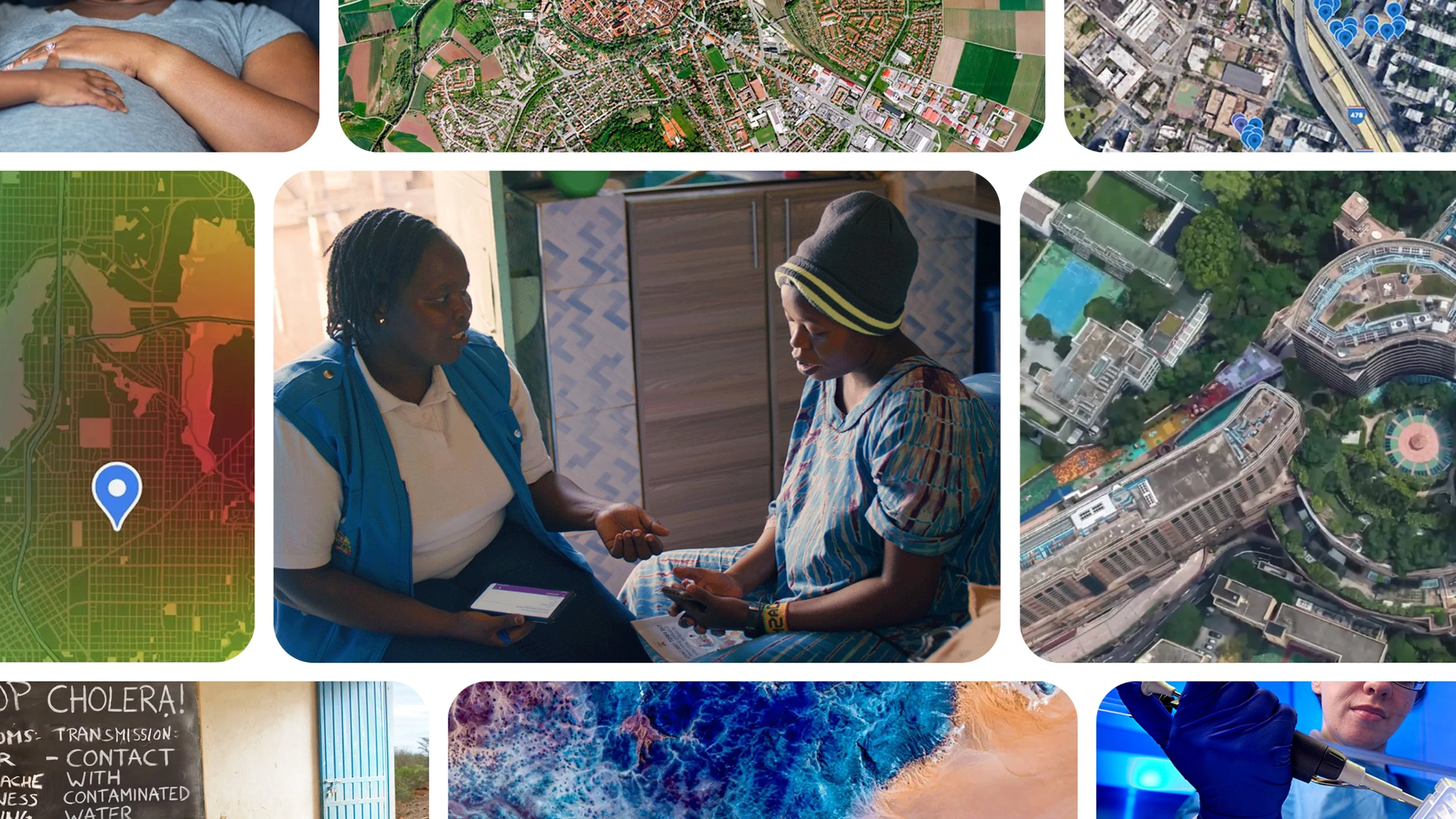
Forecasting where a disease outbreak might spread usually requires weeks of stitching together fragmented satellite imagery, census tables, and local health records.
Now, new research shows how Google Earth AI can help communities address public health crises more quickly and proactively.
By combining insights beyond simple statistics — like behavioral trends, geospatial AI models, and more — public health teams can better understand complex public health issues, bridge reporting gaps, and shift emergency response from reactive management to proactive prevention.