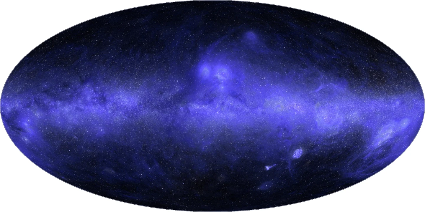
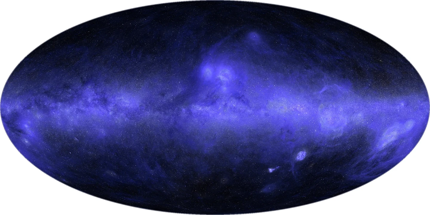
IT之家 IT之家 reported on October 10 that Anthropic published a blog post on October 8,announcing that its Claude Science helped create the first complete all-sky ultraviolet map, with about one-third of the map's area estimated by the model.
IT之家 note: A complete all-sky ultraviolet map stitches ultraviolet observations of the entire sky into one image, centered on the center of the Milky Way, merging far-ultraviolet (154 nanometers) and near-ultraviolet (232 nanometers) data.
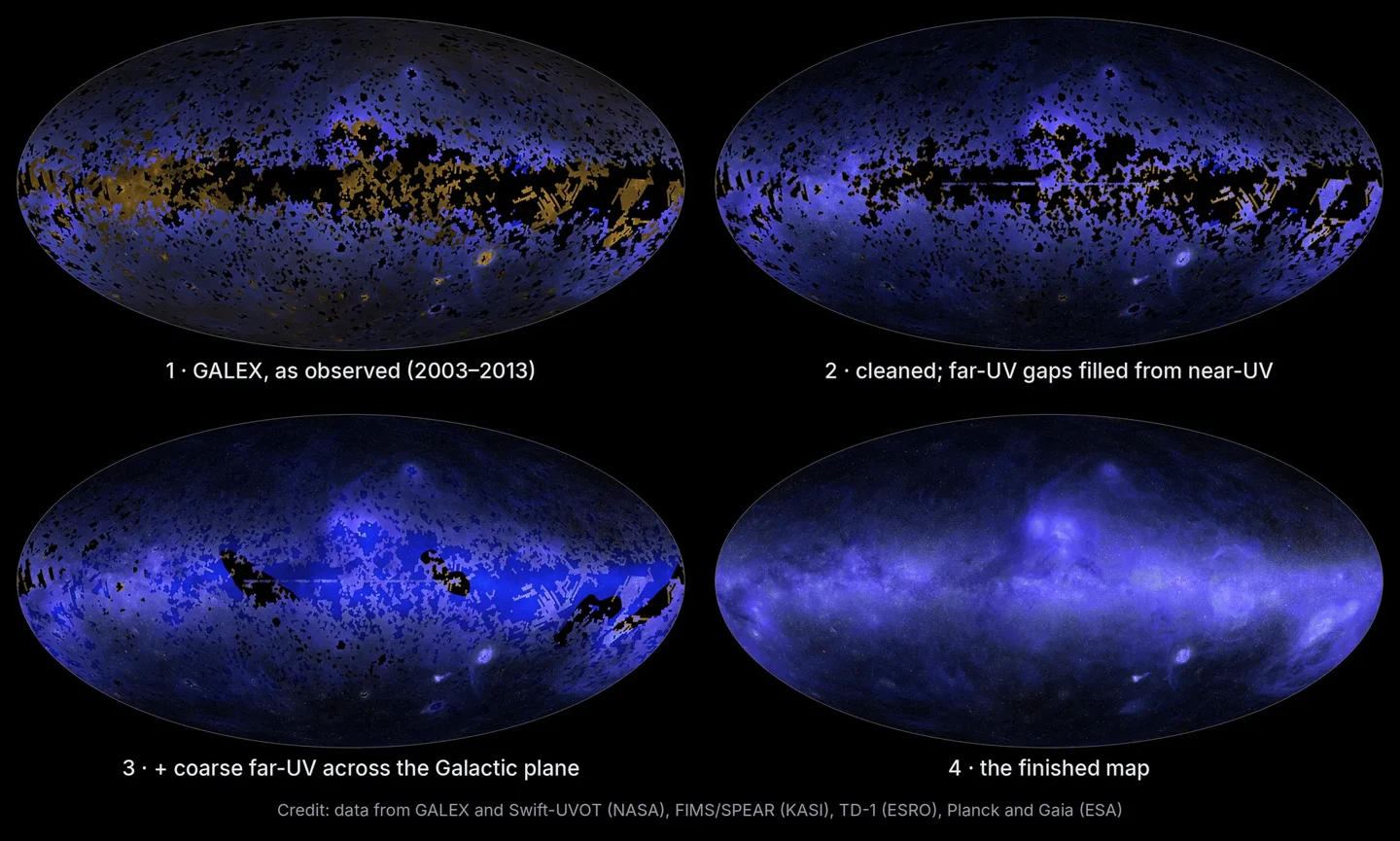
Because Earth's ozone layer absorbs ultraviolet light, astronomers must observe using space telescopes. The largest dataset comes from NASA's GALEX mission, which took about 38,000 exposures between 2003 and 2013, covering about two-thirds of the sky. To protect the instrument, some regions dense with bright stars were avoided, so the remaining one-third of the sky previously had no ultraviolet observations.
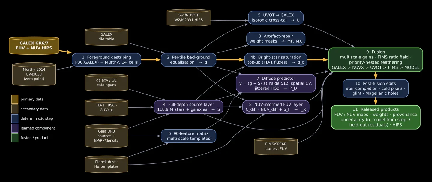
The research team integrated data from missions including GALEX, NASA Swift, and Korea's FIMS / SPEAR, and calibrated observations from different instruments, unifying resolution and coordinates. For regions without ultraviolet observations, Claude Science estimated the missing parts based on the relationships, in already-observed regions, between ultraviolet brightness and visible-light, infrared, and radio data.
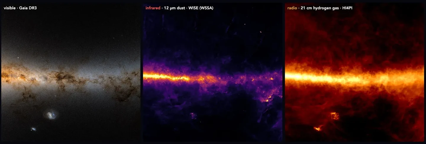
Therefore, not every pixel in this map comes from measured ultraviolet data; about one-third, including large areas of the Milky Way's disk, was estimated by the model. The map layers also mark whether each pixel is "measured" or "predicted," and provide the estimation uncertainty.